Canada
Vancouver Driving practice routes
Practise driving on the streets of Vancouver on a 3D map — free, in your browser, with nothing to install.
Open Vancouver in RoadariumThe simulator opens on the city map, where you choose any route.
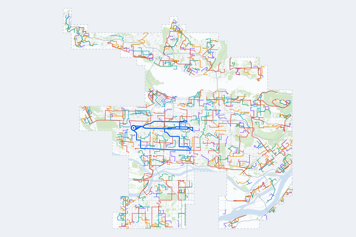
- 545Practice routes
- 1,269 kmLength of all routes
- 146Different roundabouts
- 1,338Named streets
Route types
First drive
Quiet streets and simple junctions — a few easy turns
- Routes: 122
- Typical length: 1.7 km
- Typical time: 3 min
Parking
Five marked parks in a row: at the kerb, forward and reversing in, then in a car park’s bays
- Routes: 123
- Typical length: 1.3 km
- Typical time: 3 min
Junctions
Give way, STOP and unmarked junctions on the side streets, with turns across the oncoming traffic — who goes first when there are no lights
- Routes: 116
- Typical length: 2.1 km
- Typical time: 4 min
Roundabouts
One or more roundabouts on the way
- Routes: 84
- Typical length: 3.1 km
- Typical time: 6 min
Rush hour
Busy avenues through the centre: traffic lights, lanes, turns across traffic
- Routes: 97
- Typical length: 3.4 km
- Typical time: 7 min
Driving test practice
A drive like the practical test: from a test centre and back where one is known, over the roads and junctions the examiner covers.
- Routes: 3
- Typical length: 16 km
- Typical time: 33 min
Test practice loops
The test drive here lasts 35–45 min. Each loop starts and finishes at the test centre.
| Loop | Length | Time | Roundabouts | Traffic lights | Turns | Main streets |
|---|---|---|---|---|---|---|
| 01 | 15 km | 31 min | 4 | 28 | 18 | West King Edward Avenue, East 16th Avenue, Fraser Street, Angus Drive |
| 02 | 16 km | 33 min | 1 | 32 | 17 | West King Edward Avenue, East 22nd Avenue, Kingsway, Quebec Street |
| 03 | 19 km | 38 min | 1 | 43 | 19 | West 49th Avenue, West King Edward Avenue, East 33rd Avenue, Macdonald Street |
Streets on the routes
The streets the routes of Vancouver use most.
- Marine Drive
- River Road
- Westminster Highway
- Cambie Street
- Main Street
- Boundary Road
- Canada Way
- Mount Seymour Parkway
- Blundell Road
- Columbia Street
- Mountain Highway
- Southwest Marine Drive
- Dunbar Street
- Garden City Road
- Granville Street
- Kingsway
- Lonsdale Avenue
- Montroyal Boulevard
- Nicola Street
- Williams Road
- Capilano Road
- Gaglardi Way
- Hastings Street
- Keith Road
How it works
Open Vancouver in Roadarium.
Pick a route on the city map, or plan your own.
Drive it in 3D with traffic, signs and lights, then see what to work on.