Canada
Kitchener Driving practice routes
Practise driving on the streets of Kitchener on a 3D map — free, in your browser, with nothing to install.
Open Kitchener in RoadariumThe simulator opens on the city map, where you choose any route.
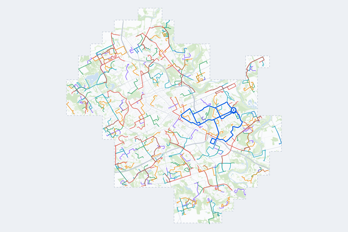
- 255Practice routes
- 642 kmLength of all routes
- 75Different roundabouts
- 699Named streets
Route types
First drive
Quiet streets and simple junctions — a few easy turns
- Routes: 54
- Typical length: 1.9 km
- Typical time: 4 min
Parking
Five marked parks in a row: at the kerb, forward and reversing in, then in a car park’s bays
- Routes: 55
- Typical length: 1.5 km
- Typical time: 3 min
Junctions
Give way, STOP and unmarked junctions on the side streets, with turns across the oncoming traffic — who goes first when there are no lights
- Routes: 54
- Typical length: 2.2 km
- Typical time: 4 min
Roundabouts
One or more roundabouts on the way
- Routes: 48
- Typical length: 3.7 km
- Typical time: 7 min
Rush hour
Busy avenues through the centre: traffic lights, lanes, turns across traffic
- Routes: 41
- Typical length: 3.6 km
- Typical time: 7 min
Driving test practice
A drive like the practical test: from a test centre and back where one is known, over the roads and junctions the examiner covers.
- Routes: 3
- Typical length: 11 km
- Typical time: 22 min
Test practice loops
The test drive here lasts 20–30 min. Each loop starts and finishes at the test centre.
| Loop | Length | Time | Roundabouts | Traffic lights | Turns | Main streets |
|---|---|---|---|---|---|---|
| 01 | 9.1 km | 18 min | 0 | 14 | 15 | Ottawa Street North, River Road East, Krug Street, Holborn Drive |
| 02 | 11 km | 22 min | 0 | 15 | 21 | Franklin Street North, Ottawa Street North, Daimler Drive, Kinzie Avenue |
| 03 | 11 km | 22 min | 0 | 20 | 15 | Ottawa Street North, Weber Street East, Krug Street, Lorraine Avenue |
Streets on the routes
The streets the routes of Kitchener use most.
- Fischer-Hallman Road
- Northlake Drive
- River Road East
- University Avenue East
- King Street East
- Laurelwood Drive
- Ottawa Street North
- Bleams Road
- Ottawa Street South
- Westmount Road North
- Fairway Road North
- Weber Street East
- Bridge Street West
- Erbsville Road
- Lackner Boulevard
- Lexington Road
- Weber Street North
- Ira Needles Boulevard
- Strasburg Road
- Victoria Street North
- Activa Avenue
- Wilson Avenue
- Woolwich Street
- Yellow Birch Drive
How it works
Open Kitchener in Roadarium.
Pick a route on the city map, or plan your own.
Drive it in 3D with traffic, signs and lights, then see what to work on.