United Kingdom
York Driving practice routes
Practise driving on the streets of York on a 3D map — free, in your browser, with nothing to install.
Open York in RoadariumThe simulator opens on the city map, where you choose any route.
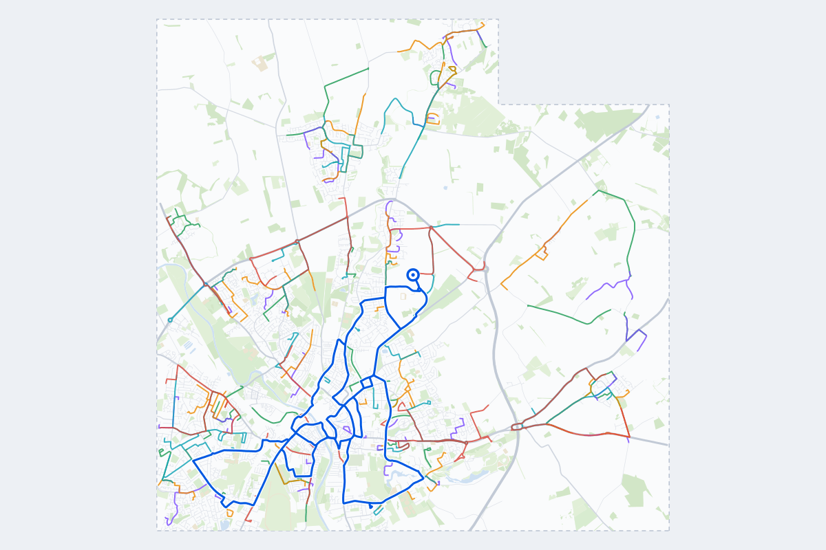
- 128Practice routes
- 203 miLength of all routes
- 61Different roundabouts
- 361Named streets
Route types
First drive
Quiet streets and simple junctions — a few easy turns
- Routes: 27
- Typical length: 1.1 mi
- Typical time: 3 min
Parking
Five marked parks in a row: at the kerb, forward and reversing in, then in a car park’s bays
- Routes: 31
- Typical length: 0.8 mi
- Typical time: 3 min
Junctions
Give way, STOP and unmarked junctions on the side streets, with turns across the oncoming traffic — who goes first when there are no lights
- Routes: 28
- Typical length: 1.3 mi
- Typical time: 4 min
Roundabouts
One or more roundabouts on the way
- Routes: 22
- Typical length: 2.3 mi
- Typical time: 7 min
Rush hour
Busy avenues through the centre: traffic lights, lanes, turns across traffic
- Routes: 17
- Typical length: 2.1 mi
- Typical time: 7 min
Driving test practice
A drive like the practical test: from a test centre and back where one is known, over the roads and junctions the examiner covers.
- Routes: 3
- Typical length: 9.9 mi
- Typical time: 32 min
Test practice loops
The test drive here lasts 35–40 min. Each loop starts and finishes at the test centre.
| Loop | Length | Time | Roundabouts | Traffic lights | Turns | Main streets |
|---|---|---|---|---|---|---|
| 01 | 9.8 mi | 32 min | 9 | 24 | 29 | Huntington Road, Malton Road, Melrosegate, Jockey Lane |
| 02 | 9.9 mi | 32 min | 6 | 31 | 36 | Huntington Road, Malton Road, The Mount, Jockey Lane |
| 03 | 12 mi | 40 min | 5 | 33 | 33 | Blossom Street, Jockey Lane, Haxby Road, Heworth Green |
Streets on the routes
The streets the routes of York use most.
- Hull Road
- York Road
- The Village
- Clifton Moor Gate
- New Lane
- Strensall Road
- Church Lane
- Ring Road
- Shipton Road
- Water Lane
- Common Road
- Melrosegate
- Askham Lane
- Bishopgate Street
- Bishopthorpe Road
- Boroughbridge Road
- Common Lane
- Field Lane
- Gale Lane
- Huntington Road
- Jockey Lane
- Manor Lane
- Moor Lane
- Stamford Bridge Road
How it works
Open York in Roadarium.
Pick a route on the city map, or plan your own.
Drive it in 3D with traffic, signs and lights, then see what to work on.